SERVICES
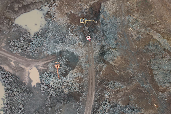
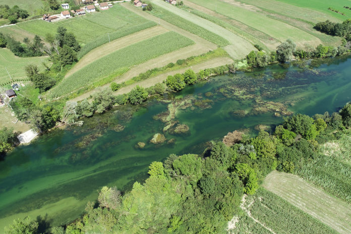
DTM
Digital Terrain Model
Generation of DTMs based on photogrammetry measurements and remote sensing for land and natural resources management, civil engineering projects and planning...
DMO
Digital Model of Objects
Digitization of the object for the cultural preservation projects, architectural planning, reconstruction projects...
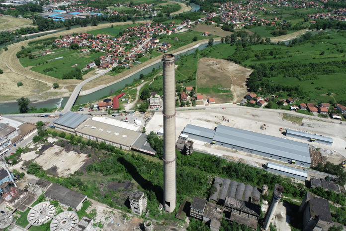
GIS
Consultation services in the field of Geographic-Information System
- Generation of geographic maps, point clouds and spatial data bases.
- Analysis and visualization of the spatial data.